Deblauwe, V., Droissart, V., Bose, R., Sonke, B., Blach-Overgaard, A., Svenning, J. C., et al. (2016). Remotely sensed temperature and precipitation data improve species distribution modelling in the tropics. Global Ecology and Biogeography, 25(4), 443-454.
DOI: 10.1111/geb.12426
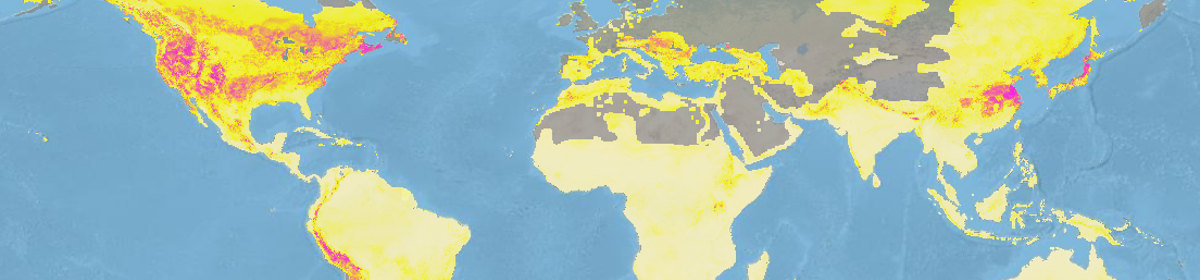
Species distribution models are becoming increasingly popular in many fields of biology. To improve model generality, SDMs are usually built using climatic variables, particularly those from widely available resources like the WorldClim database. These widespread remote sensing databases can be useful in areas that are sparse in station collected data. This study compares SDMs built using WorldClim and CRU data and three publically available remote-sensing derived datasets. The authors examine two aspects of model quality (the models ability to express association between climate and species distribution and model transferability). Models were constructed for 451 species in the tropics using either WorldClim and CRU or using remotely sensed data. Two modeling approaches were used to assess the difference between data sources (MaxEnt and GLM). For WorldClim based models training AUC scores were above 0.7, but AUC scores were only significantly higher than simulated distributions with AUC of 0.5 in 40% of models. When replacing WorldClim data with the remote sensing data AUC values increased and the number of models significantly higher that simulated distributions increased as well. MaxEnt models performed better than GLMs when transferred to a new dataset. Incorporating remote sensing data into the model did not improve transferability over models based on WorldClim data. Modeling species distributions in regions with limited weather stations is difficult. This can be problematic in areas like the tropics where large regions of forest may have very few stations. The inclusion of remotely sensed data can provide coverage to these areas. In general the inclusion of remote sensing data improved the model over just using WorldClim, though in some cases transferability decreased. This suggests that the inclusion of both data types may be the best option to improve accuracy and maintain transferability. This study highlights the applications of remotely sensed climate data, especially in regions where data from weather stations is scarce.