


Diarrheal disease in rural Madagascar
Socio-demographic, and not environmental, risk factors explain fine-scale spatial patterns of diarrheal disease in Ifanadiana, rural Madagascar
Diarrheal disease (DD) is responsible for over 700,000 child deaths annually and, in Madagascar, is the most common cause of death across all ages. Because the pathogens that cause DD are environmentally transmitted, spatial patterns in the burden of disease are thought to be strongly related to spatial patterns in underlying environmental variables. For example, moist, warm conditions may increase the survival and growth rate of bacterial pathogens in water and soil, increasing the risk of transmission to people. Precision health mapping is an approach that leverages the spatial relationships between socio-ecological variables and disease to predict hotspots of disease risk. This tends to be done at global or multi-national scales, combining remotely sensed climate and landcover data with national health surveys to predict across a broad spatial extent. However, many public health interventions, particularly in Madagascar, take place at the local district scale, not the national scale, and it is unknown if these relationships found at a broad scale can be downscaled to the fine spatial scale required by district hospitals and healthcare workers.
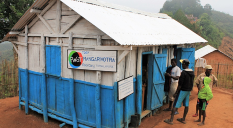
In this study, we used two fine-scale health datasets to identify socio-ecological covariates associated with DD and assess the utility of precision health mapping at the scale of the health district. These datasets were collected through a collaboration between the Madagascar Ministry of Health and Pivot, a health system strengthening NGO based in Ifanadiana district, Madagascar. We found that disease risk was most strongly associated with socio-demographic variables, such as a child’s sex, age or wealth. Environmental variables, specifically rainfall and temperature, were only able to predict seasonal trends in DD, and not spatial patterns. Socio-demographic variables are rarely collected at fine spatial scales in developing countries and often lack spatial structure in rural areas, and so have limited use in precision health mapping. However, our study found that the environmental variables that precision health mapping relies on are not strongly associated with DD risk in this context, suggesting that precision health mapping may not be appropriate for use at these scales if not adapted to the local context.
This work was a collaboration between Michelle Evans, John Drake, and Courtney Murdock, and researchers from Pivot, Harvard Medical School, the Madagascar Ministry of Health, and the Madagascar Institute of Statistics. A pre-print of the manuscript can be found here [ https://www.medrxiv.org/content/10.1101/2020.04.02.20051151v1]